


Crews-Goode-Methodist Church, Lamar County, Alabama
About
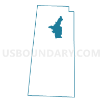
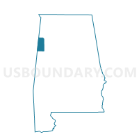
Outline

Summary
| Unique Area Identifier | 522195 |
| Name | Crews-Goode-Methodist Church |
| County | Lamar County |
| State | Alabama |
| Area (square miles) | 21.86 |
| Land Area (square miles) | 21.85 |
| Water Area (square miles) | 0.01 |
| % of Land Area | 99.95 |
| % of Water Area | 0.05 |
| Latitude of the Internal Point | 33.93140170 |
| Longtitude of the Internal Point | -88.06147170 |
Maps

Graphs
Select a template below for downloading or customizing gragh for Crews-Goode-Methodist Church, Lamar County, Alabama


Neighbors
Neighoring Voting District (by Name) Neighboring Voting District on the Map
- Beaverton South City Hall, Lamar County, AL
- Beaverton-City Hall, Lamar County, AL
- Fairview-Sizemore, Lamar County, AL
- Henson Springs-Fire Station, Lamar County, AL
- Moscow South, Lamar County, AL
- Pine Springs-Behind Church, Lamar County, AL
- Sulligent-Moscow-City Hall, Lamar County, AL